Information Systems
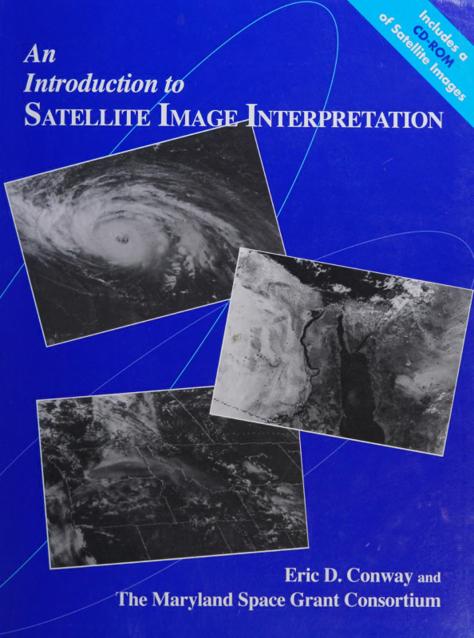
pdf |en | | Author: Professor Eric D. Conway
( Category:
Information Systems
April 19,2022 )
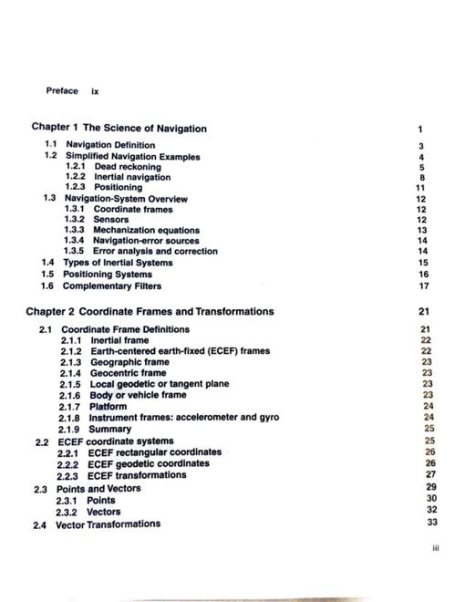
pdf |en | | Author: J.A. Farrell
( Category:
Information Systems
March 22,2022 )
pdf | | | Author:Unknown
( Category:
Information Systems
March 7,2022 )
pdf | | | Author:Unknown
( Category:
Information Systems
March 3,2022 )
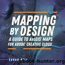
epub |eng | 2021-08-18 | Author:Sarah Bell [Bell, Sarah]
The city points should be symbolized as graduated points, and they should all be labeled by city name. Figure 4.11. The completed Compilation panel with city points graduated and labeled. ...
( Category:
Information Systems
February 25,2022 )
pdf | | 2004-08-26 | Author:John R. Schott
( Category:
Information Systems
February 24,2022 )
pdf | | 2007-11-17 | Author:Unknown
( Category:
Information Systems
February 23,2022 )
epub |eng | 2020-03-13 | Author:Wilpen L. Gorr & Kristen S. Kurland
Click the Normal button and the second of the new vertex points. Drag the vertex point to the inside corner of the building as shown in the figure. Click and ...
( Category:
Information Systems
July 29,2020 )
epub |eng | | Author:Woodard, John R.;
NAME LyndhurstStreetCenterlines DEFINITION A line representing the very center of a street. These lines are divided into smaller segments from one intersection to the next. OWNER GIS department ALSO USED ...
( Category:
Remote Sensing & GIS
July 8,2020 )
epub, pdf |eng | | Author:Michael Leigsnering
Figure 4.3 illustrates the overlapping grouping of image pixels assuming an pixel image and possible propagation paths. The small number in the top left corner of each square indicates the ...
( Category:
Information Systems
July 5,2020 )
epub |eng | | Author:Aboelmagd Noureldin, Tashfeen B. Karamat & Jacques Georgy
The accelerometers are attached to the moving platform in order to monitor its accelerations in three mutually orthogonal directions. The gyroscopes provide the attitude (pitch, roll and azimuth) of the ...
( Category:
Astronautics & Space Flight
July 5,2020 )
epub, pdf |eng | 2010-03-08 | Author:Michael N. DeMers
Chapter 11 Searching for Geographic Objects, Distributions, and Groups In This Chapter Knowing why you search for polygons Searching the right polygons for your needs Understanding the six methods for ...
( Category:
Information Systems
July 2,2020 )
epub |eng | 2020-04-28 | Author:Paul A. Zandbergen [Zandbergen, Paul A.]
6.5 Workspaces and listing data When working with ArcPy’s list functions, it is critical to be aware of the workspace used and what workspaces mean in the context of different ...
( Category:
Information Systems
June 28,2020 )
epub |eng | 2020-04-02 | Author:Andy Mitchell [Mitchell, Andy]
Types of features Locations Lines Areas Surfaces Trade-offs Good for finding and displaying what’s within each of several areas, but requires more processing Choosing a method Use the following guidelines ...
( Category:
Information Systems
May 25,2020 )
epub |eng | 2019-04-15 | Author:Amor Laaribi
Figure 6.13. Boundary change in Los Angeles, CA—comparing 1990 with 2000 tract boundaries. The black boundaries are 1990, and the green boundaries are 2000. In the map, the two boundaries ...
( Category:
Remote Sensing & GIS
April 1,2020 )
Categories
Popular ebooks
Underground: A Human History of the Worlds Beneath Our Feet by Will Hunt(12064)Man-made Catastrophes and Risk Information Concealment by Dmitry Chernov & Didier Sornette(5971)
The Revenge of Geography: What the Map Tells Us About Coming Conflicts and the Battle Against Fate by Kaplan Robert D(4058)
Zero Waste Home by Bea Johnson(3812)
COSMOS by Carl Sagan(3599)
Good by S. Walden(3530)
In a Sunburned Country by Bill Bryson(3516)
The Fate of Rome: Climate, Disease, and the End of an Empire (The Princeton History of the Ancient World) by Kyle Harper(3043)
A Wilder Time by William E. Glassley(2839)
Camino Island by John Grisham(2784)
Organic Mushroom Farming and Mycoremediation by Tradd Cotter(2670)
The Ogre by Doug Scott(2664)
Human Dynamics Research in Smart and Connected Communities by Shih-Lung Shaw & Daniel Sui(2485)
Energy Myths and Realities by Vaclav Smil(2474)
The Traveler's Gift by Andy Andrews(2443)
9781803241661-PYTHON FOR ARCGIS PRO by Unknown(2350)
Inside the Middle East by Avi Melamed(2339)
Birds of New Guinea by Pratt Thane K.; Beehler Bruce M.; Anderton John C(2240)
A History of Warfare by John Keegan(2219)
And the Band Played On by Randy Shilts(2176)

